John Doershuk, Iowa's State Archaeologist, will lead a group this week (June 25-29) at the Obermann Center to prepare for an NEH Collaborative Research Grant. The group, which includes participants from the State Archaeologist's Office, UI faculty, and representatives from American Indian tribes, is seeking to advance investigation of prehistoric mound building. Ancient burial mounds appear to be carefully planned and imbued with ritual and sacred offerings. The group is proposing a project that will use high resolution mapping technology to precisely capture spatial data to help sort out how and why questions regarding ancient mound building at both local and regional scales.
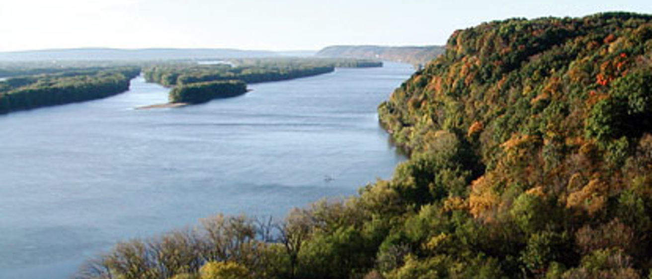
If funded, the group will be able to precisely map hundreds of earthen mounds in the Yellow River basin of Iowa and adjacent areas of Wisconsin along the Mississippi River bluffs using recently available Light Detection and Ranging (LiDAR) data supplemented with high resolution digital field survey mapping. The Yellow River basin includes the majority of Effigy Mounds National Monument and a high density of mounds along the Mississippi bluffs. Seminal theoretical works on the cultural significance of the alignment and distribution of mounds in the Midwest depend on data from the Yellow River basin, however, existing maps are often incorrect, incomplete, or unevaluated, and there is an incongruous dearth of mounds known from the upper reaches of the basin. Data capture from LiDAR and field mapping will include corrected numbers of mounds and precise orientation, spacing, and alignments. These data will be analyzed to elucidate patterns of interest to develop a preliminary mound grammar at multiple scales, ranging from intra-site to regional, using GIS-aided spatial analysis techniques. The project collaborators will produce a substantive interpretive monograph exploring earthen mound-building behavior.